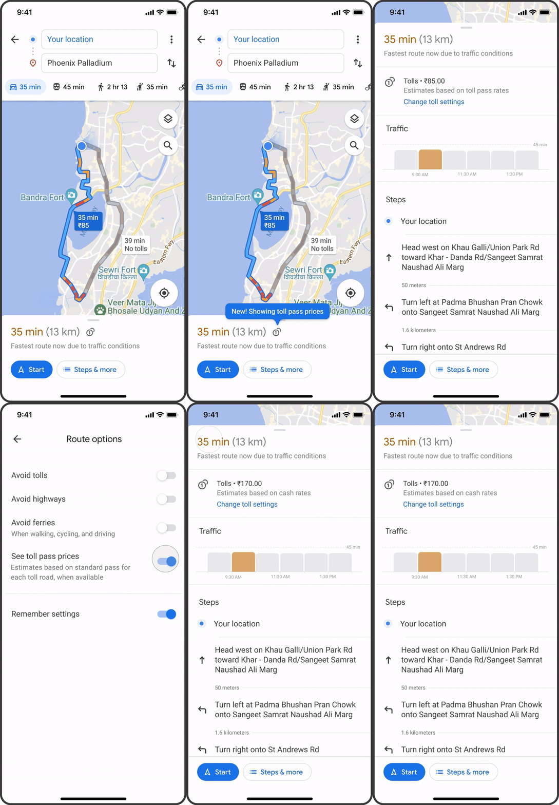
Google has finally decided to introduce a long-overdue feature to Google Maps on Android, that should not only make your journey better but also safer.
As always, Google continues to offer methods to avoid tolls by changing your route options, but those who don’t mind spending money to reach their destination a little faster will now be able to preview the total cost before hitting the road.
From this month, Google Maps will also display estimated toll prices along your route by gathering information directly from local agencies in your area. Whereas, factors like the specific time of day and the payment method will also be taken into account to get the best value for your money.
The company will initially be rolling out this update to smartphone users in the US, Indonesia, India, and Japan, with more regions on the way.
Building outlines and areas of interest are coming to the maps as well, along with specific road information like widths, shapes, medians, and islands in selective cities.
iOS users are about to get a variety of new features as well including new pinned trip widgets, direct Apple Watch navigation, and Siri shortcut support for improved voice controls.
It will take some time before the update arrives in Pakistan, so sit tight.


